We’re proud to have added to the understanding of Surrey’s rich archaeological past with three separate articles published in the latest edition of Surrey Archaeological Collections (vol 103).
.

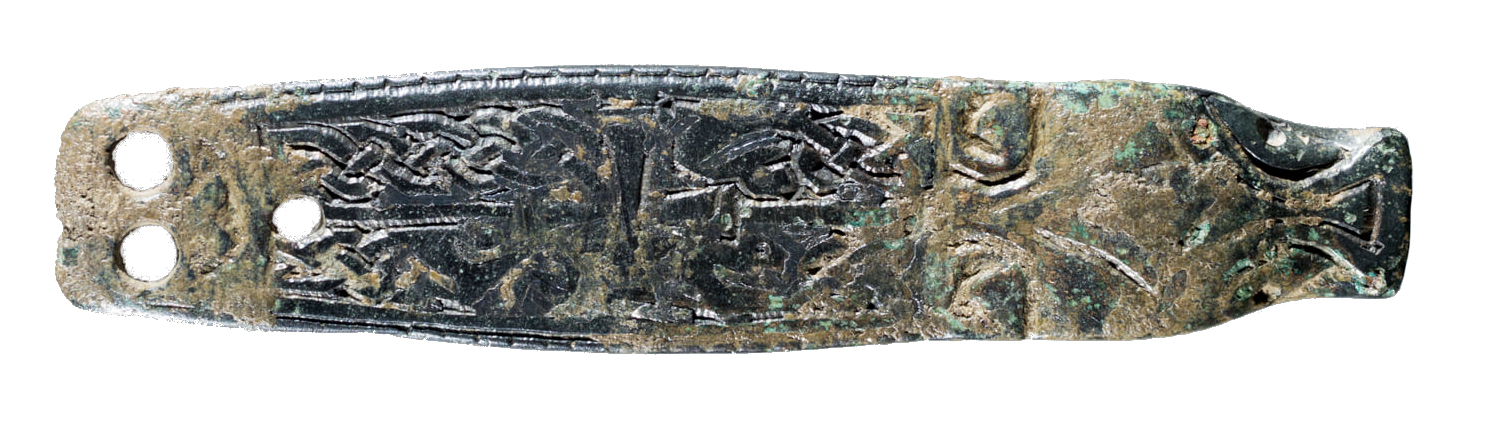
Quarrying, structured deposition and landscape appropriation in Ewell
by Alexis Haslam and Rebecca Haslam
.
This article presents the results of two PCA excavations in Ewell in 2015, which revealed important archaeological remains dating from the Mesolithic through to the Middle Saxon period.
The site lies in a geographically and topographically favourable position on the North Downs: on a spring line with pasture land to the south and the plains of a valley to the north. Such locations are known to have been favoured places for settlement since the Neolithic period. The site also overlay a seam of high-quality flint, and stone tool production had begun by the Mesolithic. By the Early Iron Age, an organised field system was in place, and during the Roman period large-scale quarrying was underway in the area. Ritual deposits in the quarries and ditches suggest the landscape was, by this time, highly significant, and this apparent reverence seems to have survived for many years later when one of the quarries was used as a Middle Saxon burial place.
This fascinating article therefore contributes not only to knowledge of the development of Ewell from prehistory onwards, but also adds to research on broader topics, such as Late Bronze Age settlement patterns on the North Downs, flint tool production in later prehistory, Roman quarrying and mortuary rites in south-east Britain, and the importance of landscape and its appropriation by a new culture during the Saxon period.
.
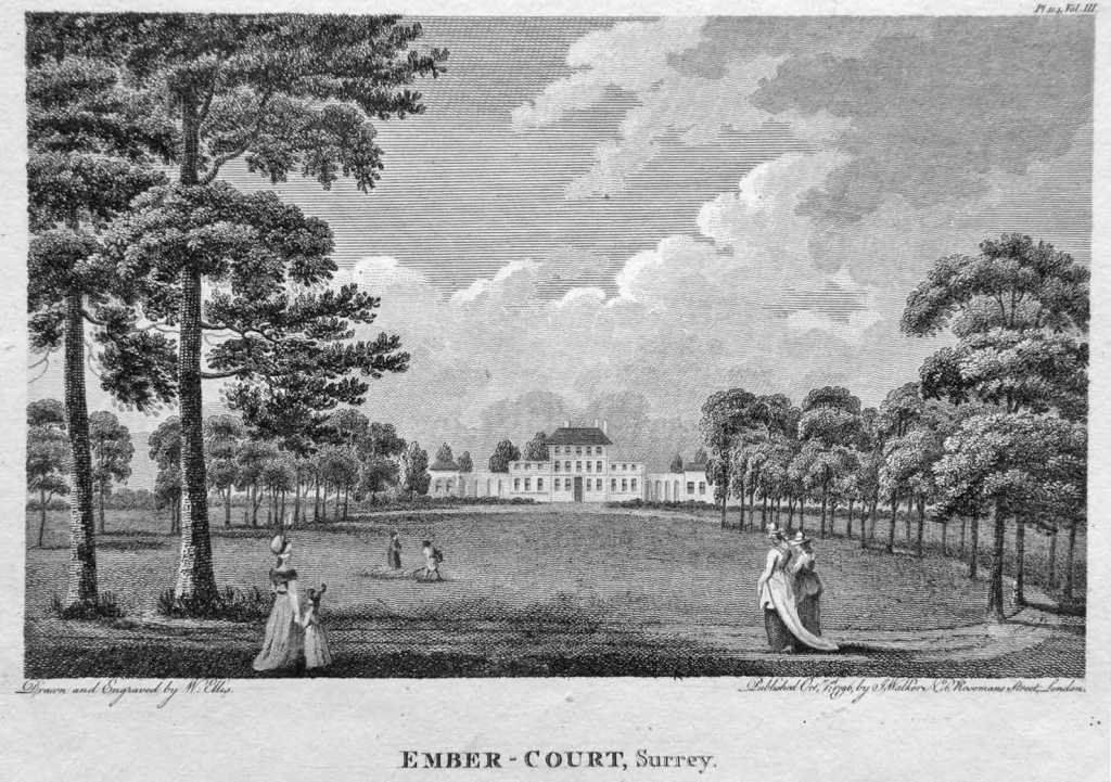
A Late Bronze Age to Early Iron Age enclosure, a Late Iron Age to early Romano-British droveway and the vestiges of the mansion and kitchen garden at Ember Court, East Molesey
by Wayne Perkins
.
This article presents the results of three stages of work in 2016-17 undertaken in advance of the redevelopment of Imber Court Business Park. As can be seen by the title of the article, a wealth of evidence of prehistoric settlement of the area was unearthed, along with the remains of Ember Court mansion, pictured above.
The earliest indicator of human activity at the site is burnt and struck flint, recovered from post-glacial palaeochannels. Two substantial ditches were found, one of which was a long-lived feature recut at least 6 times, thought to be a droveway. Dating evidence suggests that this feature remained in use from the Late Bronze to Early Iron Age, and was reused during the Romano-British period. Postholes, pits, and further ditches suggest this to be part of a complex and well managed field system.
The prehistoric activity was sealed by a layer of colluvium. The chipped and sporadic nature of this flint suggested that it had been incorporated into the layer as a result of soil creep and ploughing. A variety of flint industries from different periods was represented, suggesting long periods of settlement on the higher ground to the east.
Medieval features were also found which may have lain in the grounds of a 12th century manor house in the vicinity, but its exact location is unknown. However, a high status residence certainly occupied the site by the 17th century.
Ember Court mansion dates to the 1790s and it was inhabited until 1905. The northern part of its north wing was found during excavations along with numerous garden features and outbuildings. An 1876 handbook, ‘The Environs of London’, described “a large, plain mansion, the old brick front having been covered with stucco, and wings added in the last century”.
The mansion was demolished in 1919, and the area has now begun a new chapter with redevelopment and the construction of residential housing
.

Archaeological excavations at 90–106 High Street, Staines-upon-Thames
by Jonathan Butler and Matt Edmonds
.
This article details three phases of occupation at the site, revealed during PCA excavations in 2017: Roman, medieval and post-medieval.
Staines lies on a gravel island on the north bank of the River Thames at its confluence with the rivers Colne and Wraysbury. Roman settlement here began around AD 65/70; it was recorded as Pontibus, meaning ‘at the bridges’ in the ‘Antonine Itinerary’. The modern High Street is thought to follow the line of the Roman road between London (Londinium) and Silchester (Calleva). Its location on an important thoroughfare, adjacent to a major crossing point of the Thames, led to it becoming a thriving town in the 2nd century. However, catastrophic flooding at the end of the 2nd century led to the area becoming unusable.
A bridge was built over the Thames in the mid-12th century, and the archaeological record shows repeated attempts to drain the land for utilisation during the medieval period. The town once again grew in size, with remains of buildings in addition to drainage ditches. However, activity seems to have come to an abrupt end in the mid 14th century, probably as a result of an outbreak of the Black Death in 1348.
The next phase of use at the site was represented by a tanyard. The area was ideal for such an industry, lying in a relatively undeveloped part of the town with a ready water supply. There is documentary evidence of tanning in the area; Surrey was noted for its leather industry from the 17th century.
This article paints a detailed picture of Staines and its fluctuating fortunes over the years, from marginal, frequently flooded land in the Roman period, to the residential community it is today.
.